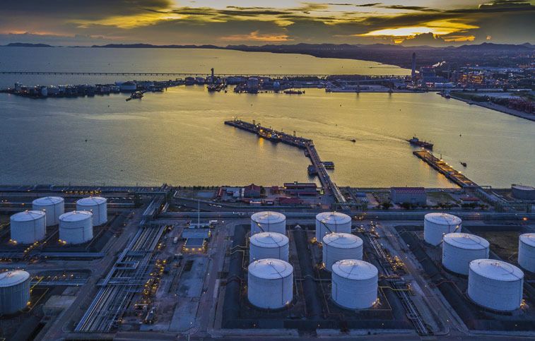

Purepoint Uranium Group Inc. (TSX.V: PTU) has declared the fulfillment of the Fall 2022 drilling initiative at the Red Willow and Turnor Lake projects, which are under the proprietorship of the company and situated in the eastern uranium mine district of the Athabasca Basin, Saskatchewan, Canada. Six drill holes were drilled, and one was unsuccessful, resulting in a total of 2,080 meters drilled. Chris Frostad, President and CEO of Purepoint, said that the Osprey uranium mineralization had been attempted to be measured via the Red Willow drilling project, with large 400-meter step-outs. With the four-hole program now finished, plans are in place to carry out more precise tracking testing during the winter. The first two holes along Turnor Lake’s Serin conductor were meant to examine the mineralization and gain an understanding of the uranium-rich LaRocque corridor running over the northern part of the land. The drilling during this period verified that the conductor is linked to beneficial rock types and alteration and calls for more drilling.
Samples taken from cores are delivered to the Saskatchewan Research Council Geoanalytical Laboratories in Saskatoon to be evaluated. The samples are investigated utilizing partial and total digestion inductively coupled plasma techniques, with boron being analyzed by Na2O2 fusion and uranium by fluorimetry. All drill cuttings are core width. However, the true thickness has yet to be ascertained.
This Fall, the Red Willow exploration program sought to ascertain the extent of uranium mineralization related to the Osprey conductor near the property’s northern boundary. Four drill holes covered 800 meters of the Osprey conductor for a total distance of 942 meters. All the holes intersected a potent graphitic shear zone, and all contained notable radioactivity with peak downhole gamma readings ranging from 350 to 470 counts per second. However, the radioactive levels and associated alteration were weaker than those observed towards the south.
The primary purpose of the 2022 Turnor Lake exploration program was to begin evaluating the 2.3 km long Serin EM conductor situated next to and in line with IsoEnergy Ltd.’s Hurricane Zone in the LaRocque corridor. The Hurricane deposit is situated roughly 10 km southwest of the Turnor Lake project limits and has an Indicated Mineral Resource of 48.61 million pounds of U3O8 with 63,800 tonnes grading 34.5% U3O8. A total of 1,138 meters was drilled across two holes, located approximately 750 meters apart, along the Serin EM conductor. SL22-02 achieved the unconformity at 290 meters and encountered graphitic-pyritic pelitic gneiss from 336 to 365 meters which registered 745 cps from the downhole gamma probe over a 0.4-meter interval. Additionally, radioactive pegmatite dykes were intersected, averaging 825 cps over 14.6 meters, and will be assayed for uranium and rare earths. Unfortunately, SL22-03 failed to detect the targeted EM conductor or any remarkable radioactivity.
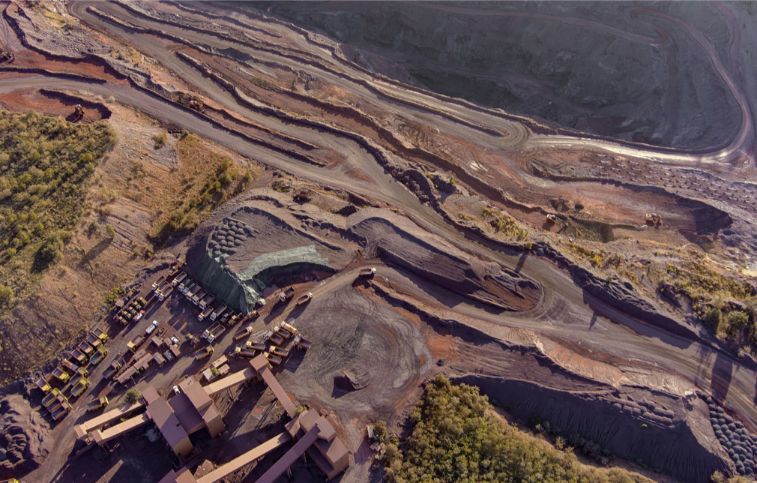
Red Willow property is a potentially good site for uranium exploration and mining, given its proximity to existing deposits and the results of various geophysical surveys. The presence of conductors in the electromagnetic (EM) survey results and favorable graphitic lithology is particularly noteworthy, as these can be indicators of the potential for the presence of minerals such as uranium. It will be important for companies interested in the property to conduct further exploration and analysis, including drilling, to determine the extent and concentration of any minerals that may be present. This process is often done in stages, starting with early-stage exploration and moving on to more advanced exploration and, if warranted, development and mining.
The Turnor Lake project is another potentially good site for uranium exploration and mining, given the presence of numerous conductors and the proximity to known deposits such as Orano Canada Inc.’s Alligator prospect and Cameco Corp’s LaRocque showing. The 3D lithological model created by Purepoint, which integrates geological, geochemical, and geophysical data, will likely be useful in identifying and refining exploration drill targets. The use of GOCAD Mining suite Targeting Workflow by Mira Geoscience to integrate the various datasets and refine exploration targets is a common practice in the mining industry, as it allows companies to make more informed decisions about where to focus their exploration efforts. Ultimately, further exploration and analysis will be needed to determine the extent and concentration of any minerals present at the Turnor Lake project.